
Browse maps
Depending on the product model, the availability of local
maps can vary:
Nokia N800 Internet Tablet—Local maps are not pre-
installed on your device. You must download the local
maps separately through the map application. For more
information, see ‘Select and download maps’, p. 43.
Positioning
43
Nokia N810 Internet Tablet—Local maps are
pre-installed on your device.
The map coverage and level of details on the map vary by
region.
When you open the map application, the map view is
displayed. If you have not selected an active map region, a
list of available map regions is opened.
To browse a map, pan it with the stylus, or tap [+] and [-]
icons on the screen to zoom in and out.
You can also activate the zoom mode from the application
toolbar. Tap
to zoom by drawing a square around the
desired section of the map. To zoom in, draw from left to
right. To zoom out, draw from right to left.
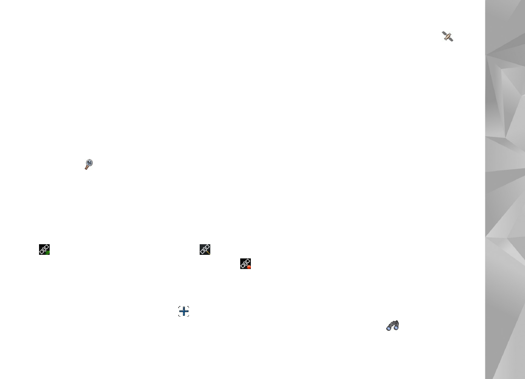
When your GPS receiver has found satellite signals, your
current location is calculated and shown on the map. The
availability of location information is shown on the display
with a coloured GPS icon.
indicates that the position is available;
that the
position is inaccurate or the GPS signal is not available;
that there is no GPS connection.
Your current location is indicated on the map with a
cursor. When you browse the map, you can always zoom
into your current location by tapping
on the toolbar.
The red and white compass needle shows the orientation
of the map which faces north by default. To view detailed
compass information and GPS signal status, tap
on the
toolbar.
For each point of interest or any location on the map, you
can open a context-sensitive menu that has different
functions depending on the type of object. To open the
context-sensitive menu, hold the stylus or your finger
down on the selected object until the menu opens.